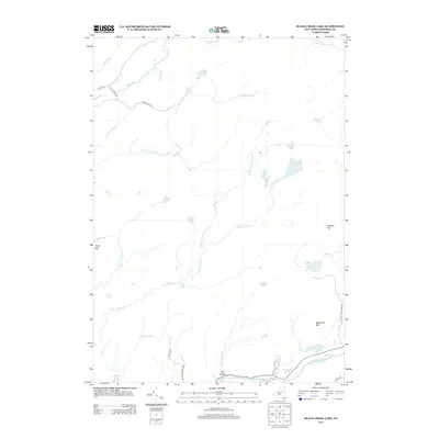
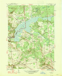
2013 Map of Black Creek Lake
USGS Topo · Published 2013About this map
West Canada Cr carves through the southern landscape of this Herkimer County region, defining the area's sharp topography at the Ohio Gorge. The small settlement of Wilmurt sits near the riverbanks, serving as a rare point of habitation in a terrain otherwise dominated by high peaks and an intricate network of waterways. Elevation ranges from the heights of Forty Mtn and McCauley Mtn down to numerous isolated basins like Black Cr Lake and Cotton Lake. The map reveals a remote geography of the Adirondack foothills, where transportation is limited to specialized routes such as Black River Trl and the curiously named Hooper Dooper Ave. This 2013 survey provides a detailed view of the drainage patterns for the Middle Br Little Black Cr and Twin Lakes Stream, showing a landscape where water and timber define the local character.
Find a feature on this map
37 named features on this map. Tap any name to fly to it.
Don’t see what you’re looking for? This feature index may not catch every label — zoom into the map to look around manually.
Map Details
Editions of this 2013 Black Creek Lake Map
This is the sole edition of this map. No revisions or reprints were ever made.
Other maps of this area

1897 · Remsen
USGS Topo · 1:62,500

1900 · Remsen
USGS Topo · 1:62,500

1900 · Wilmurt
USGS Topo · 1:62,500

1901 · Old Forge
USGS Topo · 1:62,500

1902 · Wilmurt
USGS Topo · 1:62,500

1912 · Mc Keever
USGS Topo · 1:62,500
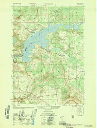
1946 · Hinckley
USGS Topo · 1:25,000
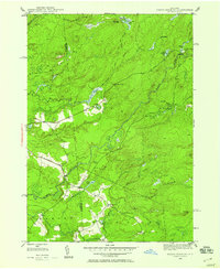
1946 · North Wilmurt
USGS Topo · 1:24,000
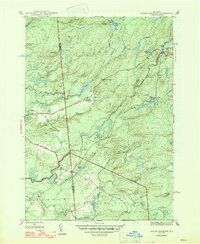
1947 · North Wilmurt
USGS Topo · 1:31,680
1947 · Hinckley
USGS Topo · 1:31,680