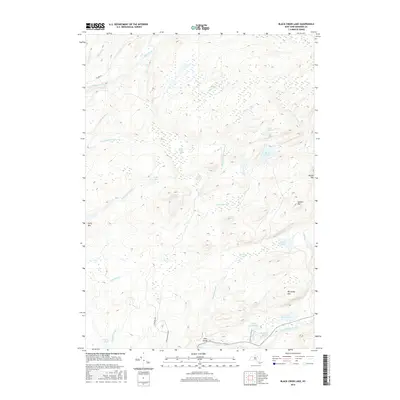
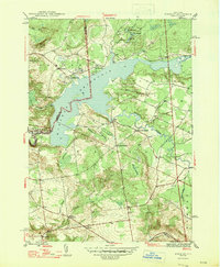
2016 Map of Black Creek Lake
USGS Topo · Published 2016About this map
Black Cr Lake and the dramatic incision of the Ohio Gorge define this Adirondack landscape in the town of Ohio. The terrain is characterized by a complex network of wetlands and small glacial water bodies, including Twin Lakes Marsh, Middle Branch Marsh, and several named valleys or "vlys" such as Crosby Vly and Pooler Vly. These features, along with the high peaks of McCauley Mtn and Lawson Top, illustrate the drainage patterns of the Black River and West Canada Creek watersheds.
Find a feature on this map
37 named features on this map. Tap any name to fly to it.
Don’t see what you’re looking for? This feature index may not catch every label — zoom into the map to look around manually.
Map Details
Editions of this 2016 Black Creek Lake Map
This is the sole edition of this map. No revisions or reprints were ever made.
Other maps of this area

1897 · Remsen
USGS Topo · 1:62,500

1900 · Remsen
USGS Topo · 1:62,500

1900 · Wilmurt
USGS Topo · 1:62,500

1901 · Old Forge
USGS Topo · 1:62,500

1902 · Wilmurt
USGS Topo · 1:62,500

1912 · Mc Keever
USGS Topo · 1:62,500
1946 · Hinckley
USGS Topo · 1:25,000
1946 · North Wilmurt
USGS Topo · 1:24,000
1947 · North Wilmurt
USGS Topo · 1:31,680
1947 · Hinckley
USGS Topo · 1:31,680