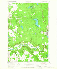
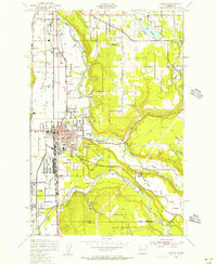
1949 Map of Black Diamond
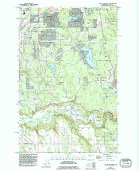
USGS Topo · Published 1964About this map
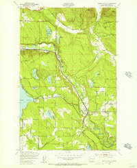
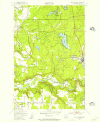
The Green River carves a deep, winding path through this corner of King County, defining a landscape shaped by coal mining and timber. The industrial heart of the area is centered at Black Diamond, where a prominent Coal Mine and a local Cem reflect the settlement's heritage. To the north, the terrain transitions into a lake-rich plateau, featuring Lake Sawyer, Pipe Lake, and Lake Lucerne, where the Cherokee Bay Park and various Conference Grounds suggest a mid-century shift toward recreation.
Find a feature on this map
43 named features on this map. Tap any name to fly to it.
Don’t see what you’re looking for? This feature index may not catch every label — zoom into the map to look around manually.
Map Details
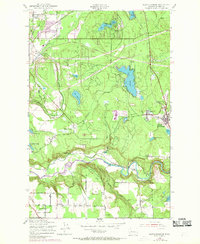
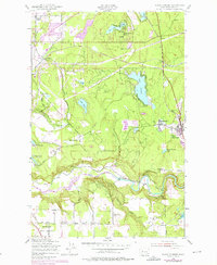
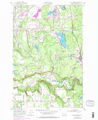
Editions of this 1949 Black Diamond Map
6 editions found
Other maps of this area

1897 · Tacoma
USGS Topo · 1:125,000

1900 · Tacoma
USGS Topo · 1:125,000

1913 · Cedar Lake
USGS Topo · 1:125,000

1942 · Lake Tapps
USGS Topo · 1:62,500

1944 · Lake Tapps
USGS Topo · 1:62,500
1949 · Maple Valley
USGS Topo · 1:24,000
1949 · Black Diamond
USGS Topo · 1:24,000
1949 · Renton
USGS Topo · 1:24,000
1949 · Auburn
USGS Topo · 1:24,000
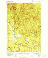
1953 · Hobart
USGS Topo · 1:24,000