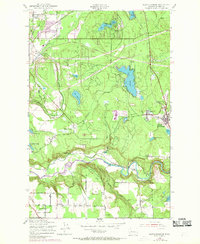
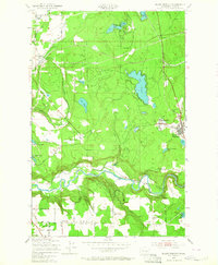
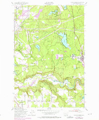
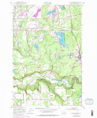
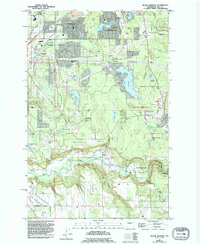
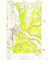
1949 Map of Black Diamond
USGS Topo · Published 1969About this map
The Northern Pacific railroad tracks trace the industrial pulse of this King County landscape, connecting the coal-rich settlement of Black Diamond with surrounding hamlets like Morganville and Kummer. This 1949 survey, with revisions into the late 1960s, documents a transition between early extractive industry and post-war recreational development. While the Coal Mine near Jones L speaks to the region's mining heritage, the emergence of the Flaming Geyser Park Swimming Pool and residential clusters around Lake Sawyer and Pipe Lake signals a shift toward the suburban and leisure-oriented growth that would eventually define south King County.
Find a feature on this map
47 named features on this map. Tap any name to fly to it.
Don’t see what you’re looking for? This feature index may not catch every label — zoom into the map to look around manually.
Map Details
Editions of this 1949 Black Diamond Map
6 editions found
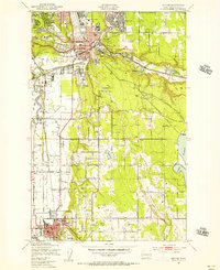
Other maps of this area

1897 · Tacoma
USGS Topo · 1:125,000

1900 · Tacoma
USGS Topo · 1:125,000

1913 · Cedar Lake
USGS Topo · 1:125,000

1942 · Lake Tapps
USGS Topo · 1:62,500

1944 · Lake Tapps
USGS Topo · 1:62,500
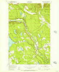
1949 · Maple Valley
USGS Topo · 1:24,000
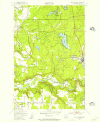
1949 · Black Diamond
USGS Topo · 1:24,000
1949 · Renton
USGS Topo · 1:24,000
1949 · Auburn
USGS Topo · 1:24,000
1953 · Hobart
USGS Topo · 1:24,000