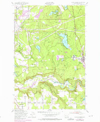
1949 Map of Black Diamond
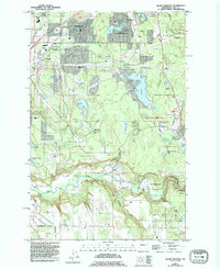
USGS Topo · Published 1976About this map
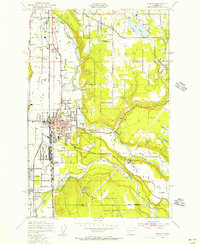
Black Diamond and the neighboring community of Morganville anchor the eastern edge of this King County survey, reflecting a landscape defined by industry and water. The route of the Burlington Northern railroad cuts through the center, connecting timber and coal interests like the Coal Mine near the center of the sheet and a sawmill to the north. The southern portion of the map is dominated by the winding path of the Green River, where the Muckleshoot Indian Reservation meets the river's edge.
Find a feature on this map
52 named features on this map. Tap any name to fly to it.
Don’t see what you’re looking for? This feature index may not catch every label — zoom into the map to look around manually.
Map Details
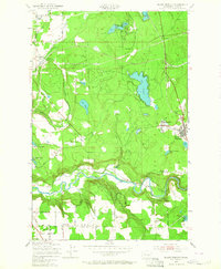
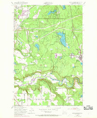
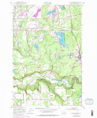
Editions of this 1949 Black Diamond Map
6 editions found
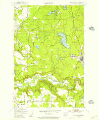
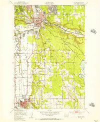
Other maps of this area

1897 · Tacoma
USGS Topo · 1:125,000

1900 · Tacoma
USGS Topo · 1:125,000

1913 · Cedar Lake
USGS Topo · 1:125,000

1942 · Lake Tapps
USGS Topo · 1:62,500

1944 · Lake Tapps
USGS Topo · 1:62,500
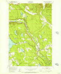
1949 · Maple Valley
USGS Topo · 1:24,000
1949 · Black Diamond
USGS Topo · 1:24,000
1949 · Renton
USGS Topo · 1:24,000
1949 · Auburn
USGS Topo · 1:24,000
1953 · Hobart
USGS Topo · 1:24,000