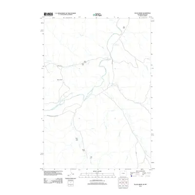
2012 Map of Black Draw
USGS Topo · Published 2012About this map
The Powder River meanders through this portion of Campbell County, Wyoming, carving a deep valley through a landscape defined by an extensive network of draws and basins. Named for the distinct drainage patterns of the high plains, features such as Black Draw, Water Gap Draw, Yerger Draw, and Flat Draw illustrate the intricate erosion that characterizes this arid environment. To the west of the river, the broad Watson Basin provides a significant geological landmark, while a series of creeks including Fence Cr and Short Cr feed into the river system.
Find a feature on this map
22 named features on this map. Tap any name to fly to it.
Don’t see what you’re looking for? This feature index may not catch every label — zoom into the map to look around manually.
Map Details
Editions of this 2012 Black Draw Map
This is the sole edition of this map. No revisions or reprints were ever made.
Other maps of this area

1954 · Hardin
USGS Topo · 1:250,000

1954 · Ekalaka
USGS Topo · 1:250,000

1954 · Gillette
USGS Topo · 1:250,000

1955 · Sheridan
USGS Topo · 1:250,000

1955 · Gillette
USGS Topo · 1:250,000

1956 · Ekalaka
USGS Topo · 1:250,000

1957 · Hardin
USGS Topo · 1:250,000

1958 · Gillette
USGS Topo · 1:250,000

1958 · Ekalaka
USGS Topo · 1:250,000

1958 · Hardin
USGS Topo · 1:250,000