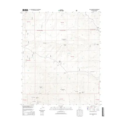
2013 Map of Black Mountain
USGS Topo · Published 2013About this map
Gila National Forest encompasses this high-altitude landscape in Catron County, where a network of remote canyons and water tanks supports the high desert ecosystem. The central landmark, Black Mountain Mesa, rises above the surrounding terrain, capped by the Black Mountain Lookout which provides a strategic vantage over the wilderness. This 2013 survey illustrates a landscape primarily defined by water management and drainage, with numerous stock ponds such as Buckhorn Tank, Armijo Tank, and Jordán Tank scattered between deep incisions like Cooney Canyon and Wolf Hollow Canyon. Transportation is limited to a few primitive routes, most notably Loco Mountain Rd, and the isolated Beaverhead Airstrip on the eastern edge. The topography reveals a complex system of ridges and seasonal water sources, including Black Spring, essential for the region's ranching and forestry operations.
Find a feature on this map
40 named features on this map. Tap any name to fly to it.
Don’t see what you’re looking for? This feature index may not catch every label — zoom into the map to look around manually.
Map Details
Editions of this 2013 Black Mountain Map
This is the sole edition of this map. No revisions or reprints were ever made.
Other maps of this area

1911 · Alum Mountain
USGS Topo · 1:125,000

1913 · Alum Mountain
USGS Topo · 1:125,000

1918 · Pelona
USGS Topo · 1:125,000

1954 · Clifton
USGS Topo · 1:250,000

1957 · Clifton
USGS Topo · 1:250,000

1958 · Clifton
USGS Topo · 1:250,000

1962 · Clifton
USGS Topo · 1:250,000
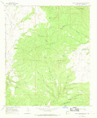
1965 · Canyon Creek Mountains
USGS Topo · 1:24,000
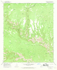
1965 · Woodland Park
USGS Topo · 1:24,000
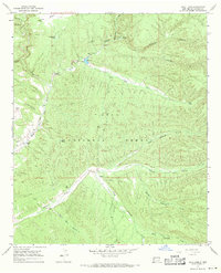
1967 · Wall Lake
USGS Topo · 1:24,000