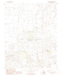
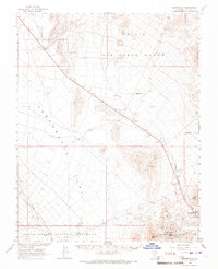
1988 Map of Black Mountain
USGS Topo · Published 1988About this map
Nellis Air Force Range (Restricted Area) dominates this high-altitude landscape of southern Nevada, where military operations intersect with the geological features of the high desert. The survey captures a region defined by stark topographic relief, including the prominent volcanic heights of Black Mountain and the broad expanse of Pahute Mesa. Throughout the restricted territory, several points labeled simply as Target or Site hint at the specialized land use during the 1980s, alongside structural features like Tower 30 Ft.
Find a feature on this map
17 named features on this map. Tap any name to fly to it.
Don’t see what you’re looking for? This feature index may not catch every label — zoom into the map to look around manually.
Map Details
Editions of this 1988 Black Mountain Map
This is the sole edition of this map. No revisions or reprints were ever made.
Other maps of this area

1908 · Kawich
USGS Topo · 1:250,000

1942 · Tolicha Peak
USGS Topo · 1:125,000
1952 · Black Mtn
USGS Topo · 1:62,500

1954 · Goldfield
USGS Topo · 1:250,000

1955 · Goldfield
USGS Topo · 1:250,000

1958 · Goldfield
USGS Topo · 1:250,000

1962 · Goldfield
USGS Topo · 1:250,000
1962 · Thirsty Canyon
USGS Topo · 1:24,000
1962 · Trail Ridge
USGS Topo · 1:24,000
1966 · Springdale
USGS Topo · 1:62,500