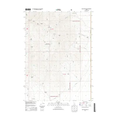
2013 Map of Black Pine Peak
USGS Topo · Published 2013About this map
Black Pine Peak and War Eagle Peak dominate the high-altitude landscape of southern Cassia County within the Sawtooth National Forest. This 2013 survey illustrates the complex drainage and spring systems of the Black Pine Mountains, where numerous water sources like Black Pine Spring, Silver Hills Spring, and Lost Tunnel Spring emerge from the high ridges. The map captures a moment in the modern management of this backcountry area, where forest roads such as Mineral Gulch Rd and Hazel Pine Rd provide access to deep canyons and summits.
Find a feature on this map
32 named features on this map. Tap any name to fly to it.
Don’t see what you’re looking for? This feature index may not catch every label — zoom into the map to look around manually.
Map Details
Editions of this 2013 Black Pine Peak Map
This is the sole edition of this map. No revisions or reprints were ever made.
Other maps of this area

1954 · Pocatello
USGS Topo · 1:250,000

1954 · Brigham City
USGS Topo · 1:250,000

1958 · Pocatello
USGS Topo · 1:250,000

1958 · Brigham City
USGS Topo · 1:250,000

1959 · Strevell
USGS Topo · 1:62,500

1959 · Kelton Pass
USGS Topo · 1:62,500

1962 · Brigham City
USGS Topo · 1:250,000

1968 · Monument Peak NW
USGS Topo · 1:24,000

1973 · Juniper
USGS Topo · 1:24,000

1973 · Black Pine
USGS Topo · 1:24,000