2020 Map of Black Pine Peak
USGS Topo · Published 2020About this map
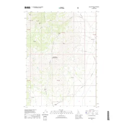
Sawtooth National Forest dominates this high-altitude landscape in Cassia County, centered on the dramatic elevations of Black Pine Peak and War Eagle Peak. The drainage patterns are defined by a complex network of canyons and gulches, including Kelsaw Canyon, Pole Canyon, and Mineral Gulch. Water is a critical resource in this arid mountain range, evidenced by numerous named springs such as Black Pine Spring, Silver Hills Spring, and Formation Springs. The map illustrates a remote terrain utilized primarily for forest management and transit, with forest roads like Nat For Dev Rd 586 and Nat For Dev Rd 201 providing access to high basins like Burnt Basin. This 2020 survey records the intricate topography of the Black Pine Mountains before modern shifts in land use or nomenclature.
Find a feature on this map
36 named features on this map. Tap any name to fly to it.
Don’t see what you’re looking for? This feature index may not catch every label — zoom into the map to look around manually.
Map Details
Editions of this 2020 Black Pine Peak Map
This is the sole edition of this map. No revisions or reprints were ever made.
Other maps of this area

1954 · Pocatello
USGS Topo · 1:250,000

1954 · Brigham City
USGS Topo · 1:250,000

1958 · Pocatello
USGS Topo · 1:250,000

1958 · Brigham City
USGS Topo · 1:250,000

1959 · Strevell
USGS Topo · 1:62,500

1959 · Kelton Pass
USGS Topo · 1:62,500

1962 · Brigham City
USGS Topo · 1:250,000

1968 · Monument Peak NW
USGS Topo · 1:24,000

1973 · Juniper
USGS Topo · 1:24,000

1973 · Black Pine
USGS Topo · 1:24,000