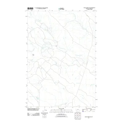
2011 Map of Black Point NE
USGS Topo · Published 2011About this map
Fruit Ranch sits amidst a network of drainage basins in this section of Carter County, where the hydrology dictates the layout of the landscape. The map shows a transition from the winding course of South Cottonwood Creek and its tributaries to the more open terrain further south. Water management is a visible priority in this arid environment, evidenced by the Nuhn Number 3 Dam, a named landmark that underscores the importance of local ranching and water retention. The area is defined by the intersection of these seasonal or intermittent watercourses, such as Duncan Creek and North Cottonwood Creek, which have carved out the subtle topography of the region. Transportation is limited to a handful of thoroughfares, most notably Cottonwood Rd, which provides the primary access through this sparsely populated ranching territory.
Find a feature on this map
9 named features on this map. Tap any name to fly to it.
Don’t see what you’re looking for? This feature index may not catch every label — zoom into the map to look around manually.
Map Details
Editions of this 2011 Black Point NE Map
This is the sole edition of this map. No revisions or reprints were ever made.
Other maps of this area

1954 · Ekalaka
USGS Topo · 1:250,000

1956 · Ekalaka
USGS Topo · 1:250,000

1958 · Ekalaka
USGS Topo · 1:250,000

1965 · Ekalaka
USGS Topo · 1:250,000
1980 · Alzada NW
USGS Topo · 1:24,000
1980 · Alzada
USGS Topo · 1:24,000
1980 · Finger Buttes West
USGS Topo · 1:24,000

1981 · Alzada
USGS Topo · 1:100,000
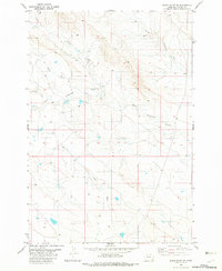
1982 · Black Point NE
USGS Topo · 1:24,000
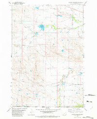
1982 · Cochran Reservoir
USGS Topo · 1:24,000