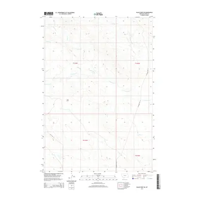
2014 Map of Black Point NE
USGS Topo · Published 2014About this map
S Cottonwood Creek and N Cottonwood Creek weave through this section of the Montana high plains, defining a landscape of complex drainage basins and seasonal watercourses. This 2014 survey reveals a territory primarily shaped by its hydrology and simple transit corridors, where the few established routes like Cottonwood Creek Rd and Black Point Ln follow the natural contours of the terrain.
Find a feature on this map
13 named features on this map. Tap any name to fly to it.
Don’t see what you’re looking for? This feature index may not catch every label — zoom into the map to look around manually.
Map Details
Editions of this 2014 Black Point NE Map
This is the sole edition of this map. No revisions or reprints were ever made.
Other maps of this area

1954 · Ekalaka
USGS Topo · 1:250,000

1956 · Ekalaka
USGS Topo · 1:250,000

1958 · Ekalaka
USGS Topo · 1:250,000

1965 · Ekalaka
USGS Topo · 1:250,000
1980 · Alzada NW
USGS Topo · 1:24,000
1980 · Alzada
USGS Topo · 1:24,000
1980 · Finger Buttes West
USGS Topo · 1:24,000

1981 · Alzada
USGS Topo · 1:100,000
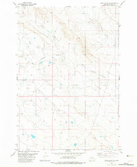
1982 · Black Point NE
USGS Topo · 1:24,000
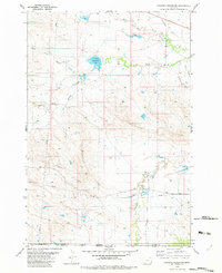
1982 · Cochran Reservoir
USGS Topo · 1:24,000