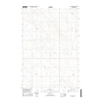
2017 Map of Black Point NE
USGS Topo · Published 2017About this map
Cottonwood Rd serves as the primary corridor through this high plains landscape in Carter County, Montana. The terrain is defined by a series of north-flowing seasonal drainages, including the bifurcated branches of N Cottonwood Cr and S Cottonwood Cr. The map reveals a land structured by the Public Land Survey System, with the intersection of four townships—t7s r58e, t7s r59e, t8s r58e, and t8s r59e—dividing the territory. Notable relief features like Long Draw and the various creek beds such as Duncan Cr and Middle Cr illustrate the subtle but complex erosion patterns characteristic of the region. This 2017 survey provides a detailed view of a sparsely populated area where the road network and water courses remain the dominant landmarks for navigation and land management.
Find a feature on this map
12 named features on this map. Tap any name to fly to it.
Don’t see what you’re looking for? This feature index may not catch every label — zoom into the map to look around manually.
Map Details
Editions of this 2017 Black Point NE Map
This is the sole edition of this map. No revisions or reprints were ever made.
Other maps of this area

1954 · Ekalaka
USGS Topo · 1:250,000

1956 · Ekalaka
USGS Topo · 1:250,000

1958 · Ekalaka
USGS Topo · 1:250,000

1965 · Ekalaka
USGS Topo · 1:250,000
1980 · Alzada NW
USGS Topo · 1:24,000
1980 · Alzada
USGS Topo · 1:24,000
1980 · Finger Buttes West
USGS Topo · 1:24,000

1981 · Alzada
USGS Topo · 1:100,000
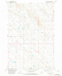
1982 · Black Point NE
USGS Topo · 1:24,000
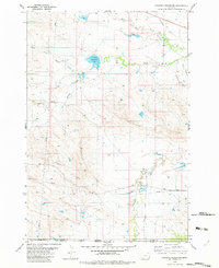
1982 · Cochran Reservoir
USGS Topo · 1:24,000