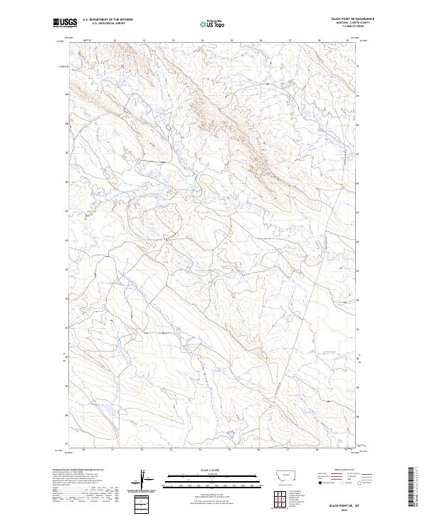
2024 Map of Black Point NE
USGS Topo · Published 2024About this map
North Cottonwood Creek and South Cottonwood Creek carve through the high plains of Carter County on this modern survey. This drainage-defined landscape shows a network of named watercourses, including Middle Creek, Trough Creek, and Duncan Creek, which descend from the higher elevations of the western sections. The terrain is dominated by the long, sloping topography of Long Draw, a major natural feature running north to south through the center of the sheet. Modern infrastructure is sparse, represented primarily by Cottonwood Rd, which provides north-south access through the eastern sections. The map preserves the original Public Land Survey System boundaries, including t7s r58e and t7s r59e, reflecting the enduring legal framework of Montana's ranching country.
Find a feature on this map
12 named features on this map. Tap any name to fly to it.
Don’t see what you’re looking for? This feature index may not catch every label — zoom into the map to look around manually.
Map Details
Editions of this 2024 Black Point NE Map
This is the sole edition of this map. No revisions or reprints were ever made.
Other maps of this area

1954 · Ekalaka
USGS Topo · 1:250,000

1956 · Ekalaka
USGS Topo · 1:250,000

1958 · Ekalaka
USGS Topo · 1:250,000

1965 · Ekalaka
USGS Topo · 1:250,000
1980 · Alzada NW
USGS Topo · 1:24,000
1980 · Alzada
USGS Topo · 1:24,000
1980 · Finger Buttes West
USGS Topo · 1:24,000

1981 · Alzada
USGS Topo · 1:100,000
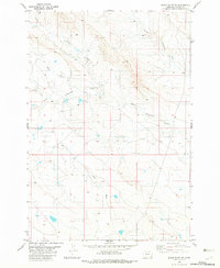
1982 · Black Point NE
USGS Topo · 1:24,000
1982 · Cochran Reservoir
USGS Topo · 1:24,000