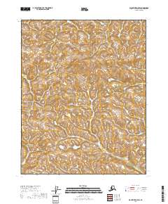
2018 Map of Black River A-5 SW
USGS Topo · Published 2018About this map
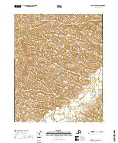
The Alaskan wilderness within the Yukon-Koyukuk Census Area is captured here through detailed topographic contouring and hydrographic data. This portion of the Black River region is defined largely by its township and range subdivisions, specifically T15n R20e, T15n R21e, T14n R20e, and T14n R21e. The landscape is characterized by a dense network of small ponds and wetlands, as identified by FWS National Wetlands Inventory data from the early 1980s. The intricate terrain, illustrated by ten-foot contour intervals, reveals a complex drainage pattern that is typical of this subarctic environment. While devoid of named settlements or roads, the map serves as a precise record of the physical geography and public land survey system grid in a remote section of the interior.
Find a feature on this map
4 named features on this map. Tap any name to fly to it.
Don’t see what you’re looking for? This feature index may not catch every label — zoom into the map to look around manually.
Map Details
Editions of this 2018 Black River A-5 SW Map
This is the sole edition of this map. No revisions or reprints were ever made.
Other maps of this area

1951 · Charley River
USGS Topo · 1:250,000

1951 · Black River
USGS Topo · 1:250,000

1956 · Black River A-6
USGS Topo · 1:63,360
1956 · Black River A-5
USGS Topo · 1:63,360
1956 · Charley River D-5
USGS Topo · 1:63,360

1956 · Black River
USGS Topo · 1:250,000
1956 · Charley River D-6
USGS Topo · 1:63,360

1956 · Charley River
USGS Topo · 1:250,000

1964 · Black River
USGS Topo · 1:250,000
2018 · Charley River D-5 NW
USGS Topo · 1:25,000