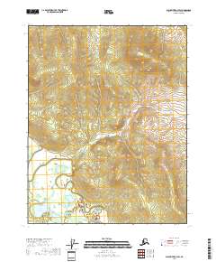
2018 Map of Black River B-3 SW
USGS Topo · Published 2018About this map
The Draanjik River winds through this expanse of the Yukon-Koyukuk Census Area, defining the drainage patterns of a landscape marked by substantial elevation changes and intricate water systems. In the southwestern corner, Whitefish Lake sits as a primary hydrological feature, surrounded by complex wetlands and smaller tributary systems that feed into the larger river basin. This 2018 survey by the U.S. Geological Survey illustrates the transition from the low-lying lake basin to the higher topographical ridges that dominate the northern and eastern portions of the quadrangle. The lack of named settlements or road infrastructure highlights the remote character of this region, where the natural terrain and watercourses remain the primary landmarks for navigation and land management.
Find a feature on this map
8 named features on this map. Tap any name to fly to it.
Don’t see what you’re looking for? This feature index may not catch every label — zoom into the map to look around manually.
Map Details
Editions of this 2018 Black River B-3 SW Map
This is the sole edition of this map. No revisions or reprints were ever made.
Other maps of this area

1951 · Black River
USGS Topo · 1:250,000

1956 · Black River A-4
USGS Topo · 1:63,360

1956 · Black River B-3
USGS Topo · 1:63,360

1956 · Black River A-3
USGS Topo · 1:63,360

1956 · Black River B-4
USGS Topo · 1:63,360

1956 · Black River
USGS Topo · 1:250,000

1964 · Black River
USGS Topo · 1:250,000
1984 · Black River A-4
USGS Topo · 1:63,360
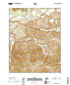
2018 · Black River B-3 NW
USGS Topo · 1:25,000
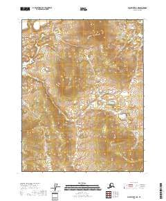
2018 · Black River B-3 NE
USGS Topo · 1:25,000