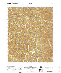
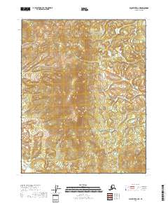
2018 Map of Black River B-4 SW
USGS Topo · Published 2018About this map
Glacial landforms and intricate drainage patterns define this interior Alaskan landscape in the T18n R23e and T17n R23e township blocks. This 2018 survey reveals a terrain shaped by water and elevation, dominated by countless small ponds and winding stream beds that weave between low-lying ridges. The absence of named settlements or infrastructure highlights the wilderness character of the Yukon-Koyukuk region, where land is primarily delineated by the Public Land Survey System grids of T18n R22e and T17n R22e. This map serves as a precise record of the natural topography and wetlands as they existed in the early 21st century, providing essential data for studying hydrologic changes and land management in this undisturbed section of the Black River quadrangle.
Find a feature on this map
4 named features on this map. Tap any name to fly to it.
Don’t see what you’re looking for? This feature index may not catch every label — zoom into the map to look around manually.
Map Details
Editions of this 2018 Black River B-4 SW Map
This is the sole edition of this map. No revisions or reprints were ever made.
Other maps of this area

1951 · Black River
USGS Topo · 1:250,000

1956 · Black River A-4
USGS Topo · 1:63,360

1956 · Black River B-5
USGS Topo · 1:63,360

1956 · Black River B-4
USGS Topo · 1:63,360
1956 · Black River A-5
USGS Topo · 1:63,360

1956 · Black River
USGS Topo · 1:250,000

1964 · Black River
USGS Topo · 1:250,000
1984 · Black River A-4
USGS Topo · 1:63,360
2018 · Black River B-4 NE
USGS Topo · 1:25,000
2018 · Black River A-4 NE
USGS Topo · 1:25,000