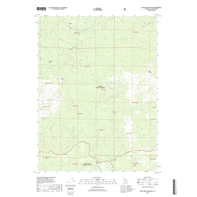
2018 Map of Black Rock Mountain
USGS Topo · Published 2018About this map
Payne and the surrounding high-country terrain of the North Coast Ranges are defined by the convergence of the Trinity National Forest and Mendocino National Forest. This 2018 survey reveals a landscape shaped by the S Fork Trinity River and its various tributaries, including the E Fork-S-Fork Trinity-River and Dark Canyon Cr. Isolated settlements and locations like Fern Glade and Penney are linked by primitive routes such as Wild Mad Rd and Chicago Camp. Significant landmarks like Black Rock Mtn and the nearby Black Rock Lake dominate the northeastern reaches, while distinctive geological features such as Hermit Rock, Tombstone Rock, and Blue Slide characterize the steep, descending ridges. The map provides a contemporary record of forest management boundaries and the network of gulches and ridges, from Raspberry Gulch to Skylight Ridge, that delineate this northern California wilderness.
Find a feature on this map
42 named features on this map. Tap any name to fly to it.
Don’t see what you’re looking for? This feature index may not catch every label — zoom into the map to look around manually.
Map Details
Editions of this 2018 Black Rock Mountain Map
This is the sole edition of this map. No revisions or reprints were ever made.
Other maps of this area

1890 · Red Bluff
USGS Topo · 1:250,000

1894 · Red Bluff
USGS Topo · 1:250,000

1931 · Hoaglin
USGS Topo · 1:96,000

1935 · Hoaglin
USGS Topo · 1:125,000

1951 · Chanchelulla Peak
USGS Topo · 1:62,500

1953 · Blackrock Mtn
USGS Topo · 1:62,500

1954 · Dubakella Mtn
USGS Topo · 1:62,500

1954 · Blackrock Mtn
USGS Topo · 1:62,500

1954 · Yolla Bolly
USGS Topo · 1:62,500

1958 · Redding
USGS Topo · 1:250,000