
1954 Map of Dubakella Mtn
USGS Topo · Published 1956About this map
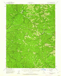
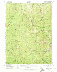
The rugged interior of Six Rivers National Forest and the surrounding Trinity mountains are captured here during a period of transition in the mid-1950s. At the northern edge, the settlement of Peanut and the Salt Creek School mark the limited footprint of human habitation in this steep terrain. The landscape is defined by its ridge-and-valley structure, notably the prominent Dubakella Mtn and the geologically distinct Natural Bridge and Hall City Caves.
Find a feature on this map
106 named features on this map. Tap any name to fly to it.
Don’t see what you’re looking for? This feature index may not catch every label — zoom into the map to look around manually.
Map Details
Editions of this 1954 Dubakella Mtn Map
3 editions found
Other maps of this area

1890 · Red Bluff
USGS Topo · 1:250,000

1894 · Red Bluff
USGS Topo · 1:250,000

1909 · Big Bar
USGS Topo · 1:96,000

1913 · Weaverville
USGS Topo · 1:125,000

1915 · Big Bar and Vicinity
USGS Topo · 1:250,000

1918 · Anada
USGS Topo · 1:62,500

1921 · Hoaglin
USGS Topo · 1:62,500

1922 · Island Mountain
USGS Topo · 1:62,500

1931 · Hoaglin
USGS Topo · 1:96,000

1935 · Hoaglin
USGS Topo · 1:125,000