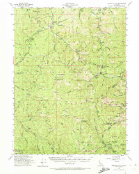
1954 Map of Dubakella Mtn
USGS Topo · Published 1972About this map
Peanut sits at the northern edge of this Trinity County survey, serving as a focal point for the surrounding mountain landscape. The map illustrates a transitional period in mid-century land use, where established mountain homesteads like the Murphy Place and Bramlet Place exist alongside a network of Forest Service infrastructure. Fire management and forestry dominate the high ground, evidenced by the Plummer Lookout and Red Mtn Lookout, while the presence of the Old Bill Mine and Hall City Caves hints at the area's mineral and geological history.
Find a feature on this map
119 named features on this map. Tap any name to fly to it.
Don’t see what you’re looking for? This feature index may not catch every label — zoom into the map to look around manually.
Map Details
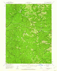
Editions of this 1954 Dubakella Mtn Map
3 editions found

Other maps of this area

1890 · Red Bluff
USGS Topo · 1:250,000

1894 · Red Bluff
USGS Topo · 1:250,000

1909 · Big Bar
USGS Topo · 1:96,000

1913 · Weaverville
USGS Topo · 1:125,000

1915 · Big Bar and Vicinity
USGS Topo · 1:250,000

1918 · Anada
USGS Topo · 1:62,500

1921 · Hoaglin
USGS Topo · 1:62,500

1922 · Island Mountain
USGS Topo · 1:62,500

1931 · Hoaglin
USGS Topo · 1:96,000

1935 · Hoaglin
USGS Topo · 1:125,000