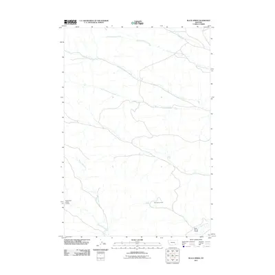
2011 Map of Black Spring
USGS Topo · Published 2011About this map
Black Spring Lookout stands as the primary landmark in this drainage basin within the Muddy District, overseeing a network of seasonal and perennial water sources. The landscape is defined by the convergence of several major tributaries, including the North Fork Cottonwood Creek, South Fork Cottonwood Creek, and Little Cottonwood Creek. These drainages, along with Slough Grass Creek, reveal the hydrologic patterns that dictated movement through this part of Big Horn County.
Find a feature on this map
11 named features on this map. Tap any name to fly to it.
Don’t see what you’re looking for? This feature index may not catch every label — zoom into the map to look around manually.
Map Details
Editions of this 2011 Black Spring Map
This is the sole edition of this map. No revisions or reprints were ever made.
Other maps of this area

1954 · Hardin
USGS Topo · 1:250,000

1957 · Hardin
USGS Topo · 1:250,000

1958 · Hardin
USGS Topo · 1:250,000

1958 · Chalky Point
USGS Topo · 1:24,000

1958 · Painted Hill
USGS Topo · 1:24,000

1958 · Jimtown
USGS Topo · 1:24,000

1958 · Black Spring
USGS Topo · 1:24,000

1958 · Busby
USGS Topo · 1:24,000

1958 · Lame Deer
USGS Topo · 1:24,000

1971 · Colstrip SW
USGS Topo · 1:24,000