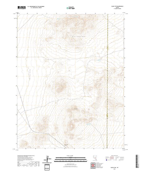
2021 Map of Black Top
USGS Topo · Published 2021About this map
Quinn Canyon Range dominates the eastern half of this high-altitude desert landscape, marking a stark topographical boundary at the edge of Railroad Valley. This 2021 survey details a region defined by water scarcity and extreme relief, where isolated water sources like Neds Cache Spring and Red Rock Reservoir are the primary landmarks in an otherwise arid expanse. The map illustrates the complex drainage patterns descending from the heights of Black Top toward the valley floor, highlighting the importance of seasonal hydrology in the Great Basin.
Find a feature on this map
13 named features on this map. Tap any name to fly to it.
Don’t see what you’re looking for? This feature index may not catch every label — zoom into the map to look around manually.
Map Details
Editions of this 2021 Black Top Map
This is the sole edition of this map. No revisions or reprints were ever made.
Other maps of this area

1908 · Kawich
USGS Topo · 1:250,000

1942 · Reveille Peak
USGS Topo · 1:125,000

1942 · Penoyer Valley
USGS Topo · 1:125,000

1952 · White Blotch Springs
USGS Topo · 1:62,500

1952 · Reveille Peak
USGS Topo · 1:62,500

1952 · Belted Peak
USGS Topo · 1:62,500

1954 · Caliente
USGS Topo · 1:250,000

1954 · Goldfield
USGS Topo · 1:250,000

1955 · Goldfield
USGS Topo · 1:250,000

1958 · Goldfield
USGS Topo · 1:250,000