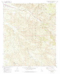
1982 Map of Blackburn Canyon
USGS Topo · Published 1985About this map
The San Jacinto River and its forks dominate this 1980s-era topography, where the water's path is managed by a Flume, an Aqueduct, and a Siphon near the Cranston FS Station. This area of the San Bernardino National Forest is defined by steep ridges and high-elevation flats, including Rouse Ridge and the broad expanse of Hixon Flat.
Find a feature on this map
34 named features on this map. Tap any name to fly to it.
Don’t see what you’re looking for? This feature index may not catch every label — zoom into the map to look around manually.
Map Details
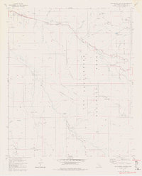
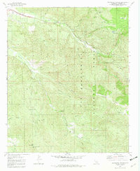
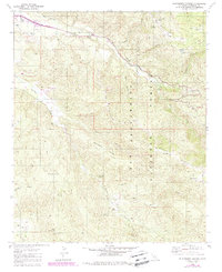
Editions of this 1982 Blackburn Canyon Map
4 editions found
Other maps of this area

1901 · Southern California Sheet No. 1
USGS Topo · 1:250,000

1901 · San Jacinto
USGS Topo · 1:125,000

1904 · Southern California Sheet No. 1
USGS Topo · 1:250,000

1940 · Palm Springs
USGS Topo · 1:62,500

1940 · Hemet Reservoir
USGS Topo · 1:62,500

1942 · Banning
USGS Topo · 1:62,500

1942 · Hemet Reservoir
USGS Topo · 1:62,500

1942 · Hemet
USGS Topo · 1:62,500

1943 · Hemet
USGS Topo · 1:62,500

1943 · Banning
USGS Topo · 1:62,500