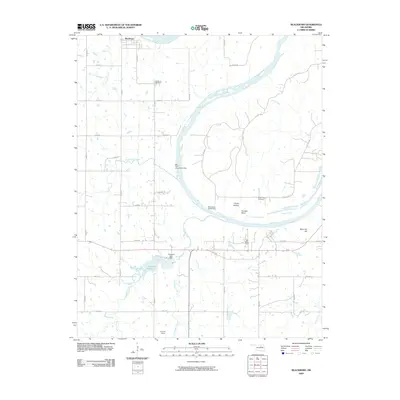
2009 Map of Blackburn
USGS Topo · Published 2009About this map
The Arkansas River winds through this landscape, defining the northern and eastern reaches of the area near Blackburn. This era shows a community structured around both the river's path and modern infrastructure, including the Cleveland Reservoir and the Cleveland Lake Dam. Local history is anchored by the Blackburn Cemetery and Boston Pool Cemetery, while the presence of Will Rogers Camp and Ghost Hollow adds a unique layer of place-naming to the terrain. The map records the transportation and industrial footprint of the early twenty-first century, featuring Greenup Siding along the rail lines and a grid of rural roads like Balmer Rd and Old 64 Hwy. From the elevations of Reservoir Hill to the bends of Hellroaring Creek, the topography reflects a region where water management and agriculture meet traditional Oklahoma settlements.
Find a feature on this map
43 named features on this map. Tap any name to fly to it.
Don’t see what you’re looking for? This feature index may not catch every label — zoom into the map to look around manually.
Map Details
Editions of this 2009 Blackburn Map
This is the sole edition of this map. No revisions or reprints were ever made.
Other maps of this area

1912 · Hominy
USGS Topo · 1:125,000

1915 · Hominy
USGS Topo · 1:125,000

1915 · Hominy
USGS Topo · 1:62,500

1929 · Yale
USGS Topo · 1:62,500

1929 · Skedee
USGS Topo · 1:62,500

1931 · Skedee
USGS Topo · 1:62,500

1932 · Yale
USGS Topo · 1:62,500

1955 · Enid
USGS Topo · 1:250,000

1958 · Enid
USGS Topo · 1:250,000

1966 · Cleveland
USGS Topo · 1:24,000