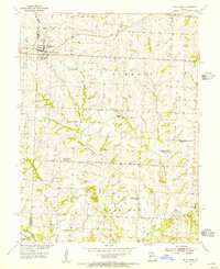
1953 Map of Blackburn
USGS Topo · Published 1955About this map
The town of Blackburn sits at the junction of the Lafayette Co Saline Co boundary, serving as a focal point for the surrounding agricultural townships of Elmwood and Salt Pond. In the early 1950s, this landscape was defined by its transition from traditional rural schoolhouses to consolidated districts, evidenced by several sites marked as decommissioned, including Carmean Sch and Salt Pond Sch. The local economy and transportation network rely on the Gulf Mobile and Ohio railroad corridor, which parallels Ohio road through the northern territory.
Find a feature on this map
31 named features on this map. Tap any name to fly to it.
Don’t see what you’re looking for? This feature index may not catch every label — zoom into the map to look around manually.
Map Details
Editions of this 1953 Blackburn Map
2 editions found
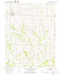
Other maps of this area

1885 · Warrensburg
USGS Topo · 1:125,000

1887 · Sedalia
USGS Topo · 1:125,000

1887 · Warrensburg
USGS Topo · 1:125,000

1889 · Lexington
USGS Topo · 1:125,000

1890 · Marshall
USGS Topo · 1:125,000

1892 · Marshall
USGS Topo · 1:125,000

1894 · Sedalia
USGS Topo · 1:125,000

1894 · Warrensburg
USGS Topo · 1:125,000

1901 · Marshall
USGS Topo · 1:125,000

1917 · Knobnoster
USGS Topo · 1:62,500