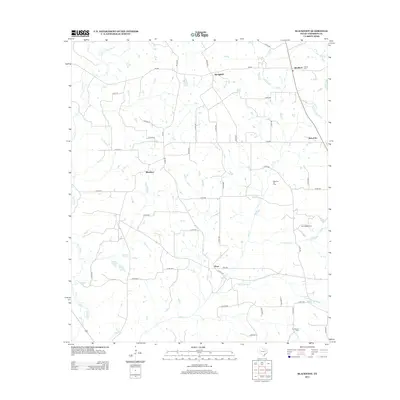
2013 Map of Blackfoot
USGS Topo · Published 2013About this map
Blackfoot Oil Field anchors the central landscape of this East Texas region, indicating the area's continued reliance on petroleum extraction. Small rural settlements like Blackfoot, Bois d'Arc, and Ward are scattered throughout the quadrangle, connected by a dense network of county roads such as Co RD 461 and FM 837. These communities represent the long-standing agricultural and residential patterns of Anderson County, where family-named landmarks like Miller Rd intersect with natural drainage systems.
Find a feature on this map
50 named features on this map. Tap any name to fly to it.
Don’t see what you’re looking for? This feature index may not catch every label — zoom into the map to look around manually.
Map Details
Editions of this 2013 Blackfoot Map
This is the sole edition of this map. No revisions or reprints were ever made.
Other maps of this area

1949 · Palestine
USGS Topo · 1:62,500

1949 · Frankston
USGS Topo · 1:62,500

1949 · Athens
USGS Topo · 1:62,500

1949 · Tennessee Colony
USGS Topo · 1:62,500

1950 · Athens
USGS Topo · 1:62,500

1950 · Palestine
USGS Topo · 1:62,500

1950 · Frankston
USGS Topo · 1:62,500

1950 · Tennessee Colony
USGS Topo · 1:62,500

1953 · Palestine
USGS Topo · 1:250,000

1956 · Tyler
USGS Topo · 1:250,000