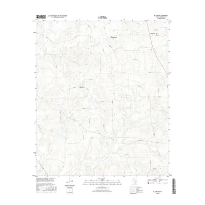
2016 Map of Blackfoot
USGS Topo · Published 2016About this map
Blackfoot and its surrounding Anderson County landscape are defined by a network of creeks and small rural settlements during this mid-2010s survey. The terrain is intricately carved by Catfish Cr and Coon Cr in the northwest, while Beaver Cr and Holly Spring Br dominate the southern reaches. These drainage patterns influenced the placement of early centers like Springfield and Bradford, which sit along higher ground served by the state's farm-to-market road system.
Find a feature on this map
46 named features on this map. Tap any name to fly to it.
Don’t see what you’re looking for? This feature index may not catch every label — zoom into the map to look around manually.
Map Details
Editions of this 2016 Blackfoot Map
This is the sole edition of this map. No revisions or reprints were ever made.
Other maps of this area

1949 · Palestine
USGS Topo · 1:62,500

1949 · Frankston
USGS Topo · 1:62,500

1949 · Athens
USGS Topo · 1:62,500

1949 · Tennessee Colony
USGS Topo · 1:62,500

1950 · Athens
USGS Topo · 1:62,500

1950 · Palestine
USGS Topo · 1:62,500

1950 · Frankston
USGS Topo · 1:62,500

1950 · Tennessee Colony
USGS Topo · 1:62,500

1953 · Palestine
USGS Topo · 1:250,000

1956 · Tyler
USGS Topo · 1:250,000