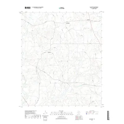
2019 Map of Blackfoot
USGS Topo · Published 2019About this map
Blackfoot serves as a central point in this rural Anderson County landscape, where the terrain is defined by a dense network of country roads and creek drainage systems. The settlement pattern is largely dispersed, with small communities like Springfield and Bradford connected by routes such as FM 860 and FM 837. For genealogists and local historians, the presence of Liberty Cem and Providence Cem offers specific points of interest for family research.
Find a feature on this map
48 named features on this map. Tap any name to fly to it.
Don’t see what you’re looking for? This feature index may not catch every label — zoom into the map to look around manually.
Map Details
Editions of this 2019 Blackfoot Map
This is the sole edition of this map. No revisions or reprints were ever made.
Other maps of this area

1949 · Palestine
USGS Topo · 1:62,500

1949 · Frankston
USGS Topo · 1:62,500

1949 · Athens
USGS Topo · 1:62,500

1949 · Tennessee Colony
USGS Topo · 1:62,500

1950 · Athens
USGS Topo · 1:62,500

1950 · Palestine
USGS Topo · 1:62,500

1950 · Frankston
USGS Topo · 1:62,500

1950 · Tennessee Colony
USGS Topo · 1:62,500

1953 · Palestine
USGS Topo · 1:250,000

1956 · Tyler
USGS Topo · 1:250,000