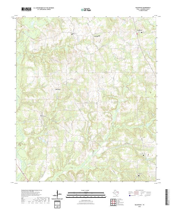
2022 Map of Blackfoot
USGS Topo · Published 2022About this map
Blackfoot and its surrounding rural communities in Anderson County are defined by a network of farm-to-market roads and winding creek bottoms. This modern topographic survey highlights a landscape where local history is anchored by family and community burial grounds, such as Rock Church Cem and Tucker Cem. The drainage patterns of Catfish Cr and Otter Cr dictate the layout of the land, while smaller settlements like Springfield and Bradford serve as local crossroads. Genealogists will find particular value in the clearly marked locations of Holly Spring Cem and Liberty Cem, which sit alongside established rural routes like FM 837. The area's transition from historical farming plots to modern land use is visible in the density of county roads and the preserved names of landmarks like Stafford Farm Rd, providing a clear record of the region's 21st-century geographic character.
Find a feature on this map
50 named features on this map. Tap any name to fly to it.
Don’t see what you’re looking for? This feature index may not catch every label — zoom into the map to look around manually.
Map Details
Editions of this 2022 Blackfoot Map
This is the sole edition of this map. No revisions or reprints were ever made.
Other maps of this area

1949 · Palestine
USGS Topo · 1:62,500

1949 · Frankston
USGS Topo · 1:62,500

1949 · Athens
USGS Topo · 1:62,500

1949 · Tennessee Colony
USGS Topo · 1:62,500

1950 · Athens
USGS Topo · 1:62,500

1950 · Palestine
USGS Topo · 1:62,500

1950 · Frankston
USGS Topo · 1:62,500

1950 · Tennessee Colony
USGS Topo · 1:62,500

1953 · Palestine
USGS Topo · 1:250,000

1956 · Tyler
USGS Topo · 1:250,000