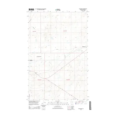
2014 Map of Blackfoot
USGS Topo · Published 2014About this map
North Browning and South Browning anchor the western edge of this 2014 survey in Glacier County, showing the intersection of local roads and major highways on the Blackfeet Indian Reservation. The landscape is defined by the drainages of Willow Cr and Flatiron Cr, which flow through a network of ranch roads including Stone Ranch Rd and Aubrey Rd. To the east, the settlement of Blackfoot sits near the junction of Us-2 and the railroad corridor, serving as a distinct waypoint in this high plains region. Further south, the terrain descends into Kittson Coulee, while family-named landmarks like Aubery Lake and local connectors like Bad Eyes Rd and Boarding School Rd provide specific geographical markers for local history and land use research.
Find a feature on this map
22 named features on this map. Tap any name to fly to it.
Don’t see what you’re looking for? This feature index may not catch every label — zoom into the map to look around manually.
Map Details
Editions of this 2014 Blackfoot Map
This is the sole edition of this map. No revisions or reprints were ever made.
Other maps of this area

1901 · Browning
USGS Topo · 1:125,000

1903 · Browning
USGS Topo · 1:125,000

1911 · Blackfoot
USGS Topo · 1:125,000

1913 · Marias Pass
USGS Topo · 1:125,000

1914 · Heart Butte
USGS Topo · 1:125,000

1918 · Heart Butte
USGS Topo · 1:125,000

1960 · Cut Bank
USGS Topo · 1:250,000

1963 · Cut Bank
USGS Topo · 1:250,000

1964 · Cut Bank
USGS Topo · 1:250,000

1968 · Rimrock Butte
USGS Topo · 1:24,000