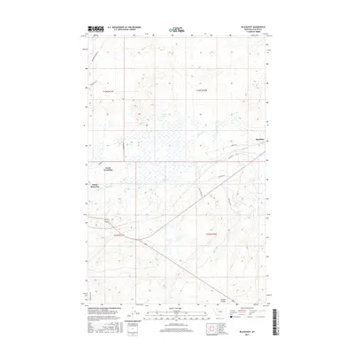
2017 Map of Blackfoot
USGS Topo · Published 2017About this map
Blackfoot stands as a focal point in this portion of Glacier County, situated where the high plains meet the intricate drainage systems of the eastern Rocky Mountain foothills. The landscape is defined by its transition between settled clusters and the vast open ranges of north-central Montana. The development patterns here are anchored by the residential footprints of North Browning and South Browning, which show the expansion of these communities into the surrounding prairie.
Find a feature on this map
21 named features on this map. Tap any name to fly to it.
Don’t see what you’re looking for? This feature index may not catch every label — zoom into the map to look around manually.
Map Details
Editions of this 2017 Blackfoot Map
This is the sole edition of this map. No revisions or reprints were ever made.
Other maps of this area

1901 · Browning
USGS Topo · 1:125,000

1903 · Browning
USGS Topo · 1:125,000

1911 · Blackfoot
USGS Topo · 1:125,000

1913 · Marias Pass
USGS Topo · 1:125,000

1914 · Heart Butte
USGS Topo · 1:125,000

1918 · Heart Butte
USGS Topo · 1:125,000

1960 · Cut Bank
USGS Topo · 1:250,000

1963 · Cut Bank
USGS Topo · 1:250,000

1964 · Cut Bank
USGS Topo · 1:250,000

1968 · Rimrock Butte
USGS Topo · 1:24,000