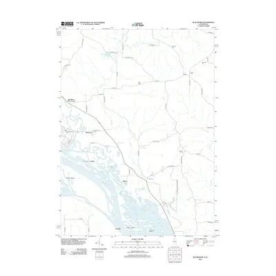
2012 Map of Blackhawk
USGS Topo · Published 2012About this map
The Mississippi River defines the western edge of this landscape, its braided channels and islands creating a complex riparian environment near the Illinois-Iowa border. Landforms like Santa Fe Island and Railroad Island sit amongst a network of backwaters including Horseshoe Lake and Lundy Lake. These waterways have long supported small riverfront clusters such as Arnold at Arnold Landing, as well as the settlements of Marcus and Lainsville.
Find a feature on this map
61 named features on this map. Tap any name to fly to it.
Don’t see what you’re looking for? This feature index may not catch every label — zoom into the map to look around manually.
Map Details
Editions of this 2012 Blackhawk Map
This is the sole edition of this map. No revisions or reprints were ever made.
Other maps of this area

1892 · Savanna
USGS Topo · 1:62,500

1911 · Elizabeth
USGS Topo · 1:62,500

1911 · Galena
USGS Topo · 1:62,500

1913 · Galena
USGS Topo · 1:62,500

1935 · Miles
USGS Topo · 1:62,500

1936 · Elizabeth
USGS Topo · 1:62,500

1941 · Miles
USGS Topo · 1:62,500

1952 · Savanna
USGS Topo · 1:62,500

1953 · Blackhawk
USGS Topo · 1:24,000

1953 · Green Island
USGS Topo · 1:24,000