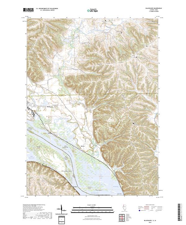
2024 Map of Blackhawk
USGS Topo · Published 2024About this map
The Mississippi River forms a dominant boundary along the western edge of this landscape, carving a complex network of islands and backwaters such as Big Soup Bone Island, Little Soup Bone Island, and Railroad Island. This modern survey reveals a highly specialized river environment preserved within the Upper Mississippi River National Wildlife and Fish Refuge, where seasonal changes dictate the visibility of features like Santa Fe Beach and Savanna Bay.
Find a feature on this map
65 named features on this map. Tap any name to fly to it.
Don’t see what you’re looking for? This feature index may not catch every label — zoom into the map to look around manually.
Map Details
Editions of this 2024 Blackhawk Map
This is the sole edition of this map. No revisions or reprints were ever made.
Other maps of this area

1892 · Savanna
USGS Topo · 1:62,500

1911 · Elizabeth
USGS Topo · 1:62,500

1911 · Galena
USGS Topo · 1:62,500

1913 · Galena
USGS Topo · 1:62,500

1935 · Miles
USGS Topo · 1:62,500

1936 · Elizabeth
USGS Topo · 1:62,500

1941 · Miles
USGS Topo · 1:62,500

1952 · Savanna
USGS Topo · 1:62,500

1953 · Blackhawk
USGS Topo · 1:24,000

1953 · Green Island
USGS Topo · 1:24,000