
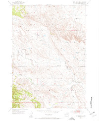
1953 Map of Blackhawk
USGS Topo · Published 1955About this map
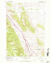
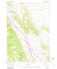
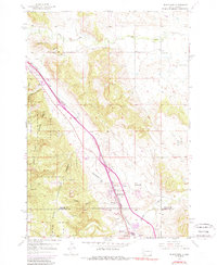
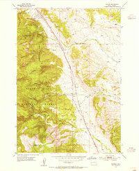
Black Hills National Forest land dominates the western portion of this 1953 survey, where the timbered slopes of the Black Hills give way to the prairie. The Chicago and North Western railroad forms the primary corridor through this landscape, running past the settlement of Blackhawk and through a series of canyons and creek valleys. Notable landmarks include the Petrified Forest near Piedmont Butte and the Black Hills Kennel Club further south.
Find a feature on this map
19 named features on this map. Tap any name to fly to it.
Don’t see what you’re looking for? This feature index may not catch every label — zoom into the map to look around manually.
Map Details
Editions of this 1953 Blackhawk Map
4 editions found
Other maps of this area

1893 · Rapid
USGS Topo · 1:125,000

1898 · Rapid
USGS Topo · 1:125,000

1903 · Rapid
USGS Topo · 1:125,000

1953 · Rapid City 1 SW
USGS Topo · 1:24,000

1953 · Rapid City East
USGS Topo · 1:24,000

1953 · Piedmont
USGS Topo · 1:24,000

1953 · Rapid City NW
USGS Topo · 1:24,000

1953 · Rapid City West
USGS Topo · 1:24,000
1953 · Tilford
USGS Topo · 1:24,000
1953 · Fort Meade SE
USGS Topo · 1:24,000