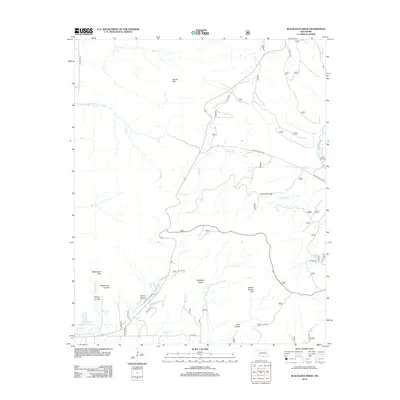
2012 Map of Blackjack Ridge
USGS Topo · Published 2012About this map
Blackjack Ridge and Buffalo Wallow Mtn dominate this portion of the Ouachita Mountains in LeFlore County. The landscape is defined by its deep drainages and named hollows, including Negro Hollow, Conley Hollow, and the aptly named Hells Hollow. These features reflect a rugged topography where water sources like Cedar Cr and Birney Cr carve through the sandstone and shale layers typical of the region.
Find a feature on this map
37 named features on this map. Tap any name to fly to it.
Don’t see what you’re looking for? This feature index may not catch every label — zoom into the map to look around manually.
Map Details
Editions of this 2012 Blackjack Ridge Map
This is the sole edition of this map. No revisions or reprints were ever made.
Other maps of this area

1900 · Winding Stair
USGS Topo · 1:125,000

1901 · Tuskahoma
USGS Topo · 1:125,000

1908 · Tuskahoma
USGS Topo · 1:125,000

1909 · Tuskahoma
USGS Topo · 1:125,000

1909 · Winding Stair
USGS Topo · 1:125,000

1940 · Red Oak
USGS Topo · 1:62,500

1943 · Red Oak
USGS Topo · 1:62,500

1950 · Mcalester
USGS Topo · 1:250,000

1962 · McAlester
USGS Topo · 1:250,000

1965 · McAlester
USGS Topo · 1:250,000