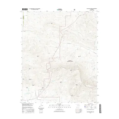
2016 Map of Blackjack Ridge
USGS Topo · Published 2016About this map
Ouachita National Forest blankets the high ridges and deep hollows along the Latimer and Le Flore county border in this 2016 survey. The terrain is defined by significant elevations like Winding Stair Mtn and Buffalo Wallow Mtn, which tower over a network of seasonal drainages including Hodge Creek and Cedar Creek. The landscape transition from the heights of Blackjack Ridge down into Crusher Hollow and Compton Hollow reveals the complex topography of the Ouachita Mountains. While largely forested, the map identifies localized developments such as the Flying Ranch Number 1 Reservoir and a network of secondary routes like Holson Valley Road and Blackjack Ridge Drive. Local history is reflected in several named landmarks, including Henry G Mountain and Rattlesnake Mountain, marking specific points in this heavily wooded region of southeastern Oklahoma.
Find a feature on this map
43 named features on this map. Tap any name to fly to it.
Don’t see what you’re looking for? This feature index may not catch every label — zoom into the map to look around manually.
Map Details
Editions of this 2016 Blackjack Ridge Map
This is the sole edition of this map. No revisions or reprints were ever made.
Other maps of this area

1900 · Winding Stair
USGS Topo · 1:125,000

1901 · Tuskahoma
USGS Topo · 1:125,000

1908 · Tuskahoma
USGS Topo · 1:125,000

1909 · Tuskahoma
USGS Topo · 1:125,000

1909 · Winding Stair
USGS Topo · 1:125,000

1940 · Red Oak
USGS Topo · 1:62,500

1943 · Red Oak
USGS Topo · 1:62,500

1950 · Mcalester
USGS Topo · 1:250,000

1962 · McAlester
USGS Topo · 1:250,000

1965 · McAlester
USGS Topo · 1:250,000