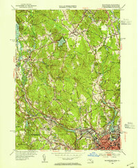
1953 Map of Blackstone
USGS Topo · Published 1954About this map
Industrial villages and hilltop farms define the borderlands of Worcester County and Rhode Island in the early 1950s. The Blackstone River winds through the valley, anchoring dense mill settlements like Millville, Blackstone, and Waterford. This period captures the region's mid-century transition, where traditional spiritual centers like the Chestnut Hill Meeting House and Friends Ch exist alongside modern developments such as the Mendon Landing Field and a nearby Drive-in Theater.
Find a feature on this map
105 named features on this map. Tap any name to fly to it.
Don’t see what you’re looking for? This feature index may not catch every label — zoom into the map to look around manually.
Map Details
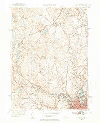
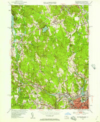
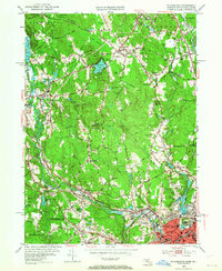
Editions of this 1953 Blackstone Map
4 editions found
Other maps of this area

1886 · Blackstone
USGS Topo · 1:62,500

1887 · Franklin
USGS Topo · 1:62,500

1887 · Providence
USGS Topo · 1:62,500

1889 · Providence
USGS Topo · 1:62,500

1889 · Blackstone
USGS Topo · 1:62,500

1889 · Franklin
USGS Topo · 1:62,500

1889 · Burrillville
USGS Topo · 1:62,500

1893 · Franklin
USGS Topo · 1:62,500

1893 · Blackstone
USGS Topo · 1:62,500

1894 · Burrillville
USGS Topo · 1:62,500