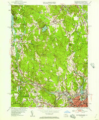
1953 Map of Blackstone
USGS Topo · Published 1957About this map
The Blackstone River carves through the industrial and agricultural landscape of the Massachusetts and Rhode Island border, anchoring a corridor of mill towns and rail transit during the mid-1950s. The New York New Haven and Hartford RR mirrors the river's path, connecting settlements like Millville, Blackstone, and Millville. Local aviation and entertainment are visible through the Mendon Landing Field, Draper Airfield, and a Drive-in Theater near Nipmuck Pond.
Find a feature on this map
104 named features on this map. Tap any name to fly to it.
Don’t see what you’re looking for? This feature index may not catch every label — zoom into the map to look around manually.
Map Details
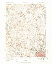
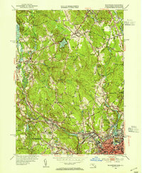
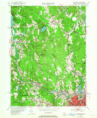
Editions of this 1953 Blackstone Map
4 editions found
Other maps of this area

1886 · Blackstone
USGS Topo · 1:62,500

1887 · Franklin
USGS Topo · 1:62,500

1887 · Providence
USGS Topo · 1:62,500

1889 · Providence
USGS Topo · 1:62,500

1889 · Blackstone
USGS Topo · 1:62,500

1889 · Franklin
USGS Topo · 1:62,500

1889 · Burrillville
USGS Topo · 1:62,500

1893 · Franklin
USGS Topo · 1:62,500

1893 · Blackstone
USGS Topo · 1:62,500

1894 · Burrillville
USGS Topo · 1:62,500