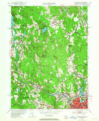
1953 Map of Blackstone
USGS Topo · Published 1964About this map
The Blackstone River valley serves as the industrial and transportation spine of this region during the mid-20th century, carrying the tracks of the New York New Haven and Hartford railroad through several dense mill settlements. This 1953 revision documents the post-war landscape of Mendon, Blackstone, and the northern edge of Woonsocket, where traditional village centers meet emerging car-culture landmarks like the Drive-in Theater and the Mendon Landing Field.
Find a feature on this map
86 named features on this map. Tap any name to fly to it.
Don’t see what you’re looking for? This feature index may not catch every label — zoom into the map to look around manually.
Map Details
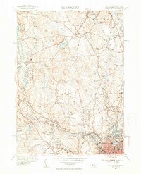
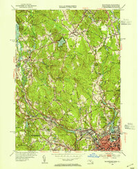
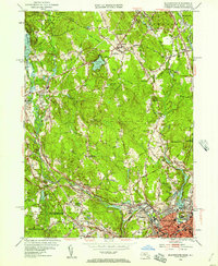
Editions of this 1953 Blackstone Map
4 editions found
Other maps of this area

1886 · Blackstone
USGS Topo · 1:62,500

1887 · Franklin
USGS Topo · 1:62,500

1887 · Providence
USGS Topo · 1:62,500

1889 · Providence
USGS Topo · 1:62,500

1889 · Blackstone
USGS Topo · 1:62,500

1889 · Franklin
USGS Topo · 1:62,500

1889 · Burrillville
USGS Topo · 1:62,500

1893 · Franklin
USGS Topo · 1:62,500

1893 · Blackstone
USGS Topo · 1:62,500

1894 · Burrillville
USGS Topo · 1:62,500