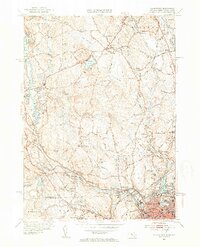
1953 Map of Blackstone
USGS Topo · Published 1954About this map
The Blackstone River and the New York New Haven and Hartford railroad define the industrial corridor of this mid-century landscape on the Massachusetts and Rhode Island border. At the southern edge, the dense urban street grid of Woonsocket transitions into the riverfront settlements of Blackstone, Waterford, and Millville. Notable local landmarks include the Chestnut Hill Meeting House, the Draper Airfield near South Milford, and several religious sites such as St Michaels Ch and the Friends Ch. The map reveals a region defined by its water power and transport, from the smaller Mumford River and West River valleys to the scattered mill ponds and swamps like Cedar Swamp. Genealogists will find a high density of burial grounds throughout the townships, including Gaskill Cem, Bicknell Cem, and Precious Blood Cem.
Find a feature on this map
96 named features on this map. Tap any name to fly to it.
Don’t see what you’re looking for? This feature index may not catch every label — zoom into the map to look around manually.
Map Details
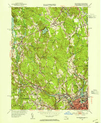
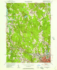
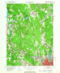
Editions of this 1953 Blackstone Map
4 editions found
Other maps of this area

1886 · Blackstone
USGS Topo · 1:62,500

1887 · Franklin
USGS Topo · 1:62,500

1887 · Providence
USGS Topo · 1:62,500

1889 · Providence
USGS Topo · 1:62,500

1889 · Blackstone
USGS Topo · 1:62,500

1889 · Franklin
USGS Topo · 1:62,500

1889 · Burrillville
USGS Topo · 1:62,500

1893 · Franklin
USGS Topo · 1:62,500

1893 · Blackstone
USGS Topo · 1:62,500

1894 · Burrillville
USGS Topo · 1:62,500