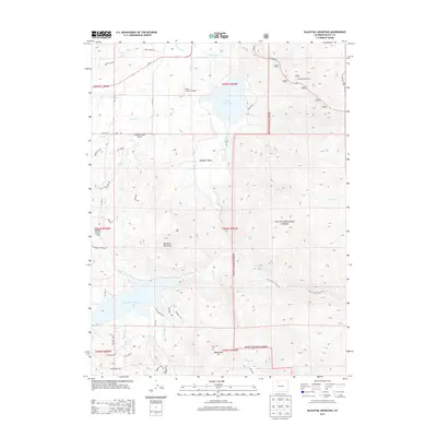
2013 Map of Blacktail Mountain
USGS Topo · Published 2013About this map
Lake Catamount and the Yampa River dominate the northern terrain of this quadrangle, illustrating the importance of water management and recreation in this part of Routt County. The landscape transitions from the riparian valley of Pleasant Valley toward the high elevations of the Routt National Forest to the east. The southern portion is defined by the Stagecoach Reservoir, fed by Middle Cr and Little Morrison Cr. The presence of Lucky L Ranch Airport and several localized road networks like Co RD 131 suggest a mix of ranching heritage and modern development. Significant elevation shifts are marked by Blacktail Mountain and Yellow Jacket Pass, while numerous creeks such as Sarvis Cr and Green Cr drain the timbered slopes. This 2013 survey provides a clear view of the modern infrastructure and natural hydrology defining this mountain region.
Find a feature on this map
53 named features on this map. Tap any name to fly to it.
Don’t see what you’re looking for? This feature index may not catch every label — zoom into the map to look around manually.
Map Details
Editions of this 2013 Blacktail Mountain Map
This is the sole edition of this map. No revisions or reprints were ever made.
Other maps of this area

1954 · Craig
USGS Topo · 1:250,000

1956 · Storm Mountain
USGS Topo · 1:24,000

1956 · Walton Peak
USGS Topo · 1:24,000

1956 · Gore Pass
USGS Topo · 1:62,500

1956 · Rabbit Ears Peak
USGS Topo · 1:62,500

1957 · Craig
USGS Topo · 1:250,000

1958 · Craig
USGS Topo · 1:250,000

1960 · Craig
USGS Topo · 1:250,000

1962 · Craig
USGS Topo · 1:250,000

1964 · Craig
USGS Topo · 1:250,000