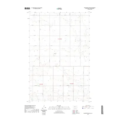
2020 Map of Blackwater Lake NW
USGS Topo · Published 2020About this map
Paint Hill rises as a distinct topographical landmark within the Missouri Plateau landscape of McLean County, overlooking a network of section-line roads and prairie wetlands. The map details a predominantly agricultural and rural area defined by the Public Land Survey System, including t149n r88w and t148n r88w. Water moves through the landscape via Buffalo Rock Coulee in the southwest, while the remainder of the terrain is dotted with small prairie potholes. The infrastructure is characterized by a precise grid of local thoroughfares such as 19th St NW and 63rd Ave NW, which facilitate movement between the scattered farmsteads and open fields. Modern connectivity is provided by Co Hwy 5 and Perimeter Rd, reflecting the enduring settlement patterns and transportation needs of this North Dakota region.
Find a feature on this map
23 named features on this map. Tap any name to fly to it.
Don’t see what you’re looking for? This feature index may not catch every label — zoom into the map to look around manually.
Map Details
Editions of this 2020 Blackwater Lake NW Map
This is the sole edition of this map. No revisions or reprints were ever made.
Other maps of this area

1953 · Watford City
USGS Topo · 1:250,000

1954 · McClusky
USGS Topo · 1:250,000

1956 · Makoti SW
USGS Topo · 1:24,000

1956 · Blackwater Lake NW
USGS Topo · 1:24,000

1956 · Blackwater Lake
USGS Topo · 1:24,000

1956 · Roseglen
USGS Topo · 1:24,000

1957 · Watford City
USGS Topo · 1:250,000

1958 · McClusky
USGS Topo · 1:250,000

1967 · Watford City
USGS Topo · 1:250,000

1967 · Blackwater Lake SE
USGS Topo · 1:24,000