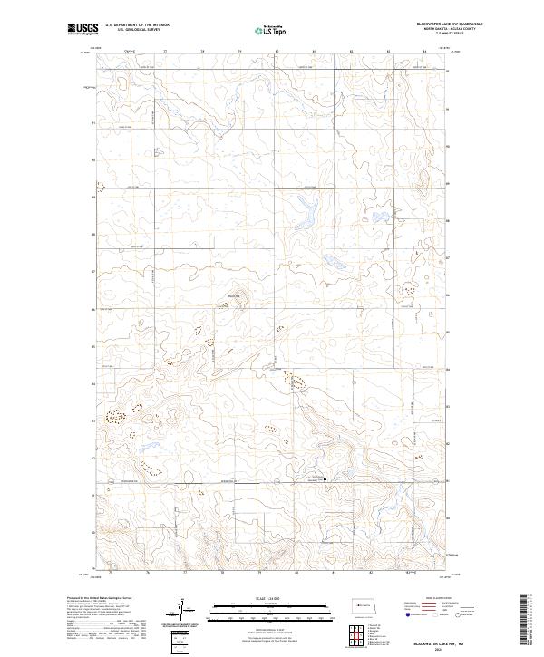
2024 Map of Blackwater Lake NW
USGS Topo · Published 2024About this map
Indian Scout Post Number 1 Cem stands as a significant cultural landmark in this section of McLean County, situated near the intersection of several township boundaries including t148n r88w and t148n r89w. The landscape is defined by the high point of Paint Hill and a dense network of sectional roads like 65th Ave NW and 23rd St NW. This modern survey by the U.S. Geological Survey shows a rural infrastructure tailored to the high plains, where the Perimeter Rd skirts the southern reaches. Numerous small depressions and wetlands are scattered across the terrain, illustrating the typical prairie pothole topography of central North Dakota. The area's connectivity is maintained through a grid of county routes, including Co Hwy 5 and Co Rd 3, which provide access to these remote agricultural and historical sites.
Find a feature on this map
21 named features on this map. Tap any name to fly to it.
Don’t see what you’re looking for? This feature index may not catch every label — zoom into the map to look around manually.
Map Details
Editions of this 2024 Blackwater Lake NW Map
This is the sole edition of this map. No revisions or reprints were ever made.
Other maps of this area

1953 · Watford City
USGS Topo · 1:250,000

1954 · McClusky
USGS Topo · 1:250,000

1956 · Makoti SW
USGS Topo · 1:24,000

1956 · Blackwater Lake NW
USGS Topo · 1:24,000

1956 · Blackwater Lake
USGS Topo · 1:24,000

1956 · Roseglen
USGS Topo · 1:24,000

1957 · Watford City
USGS Topo · 1:250,000

1958 · McClusky
USGS Topo · 1:250,000

1967 · Watford City
USGS Topo · 1:250,000

1967 · Blackwater Lake SE
USGS Topo · 1:24,000