
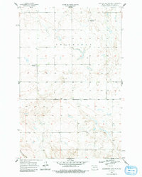
1956 Map of Blackwater Lake NW
USGS Topo · Published 1957About this map
Ft Berthold Indian Reservation Boundary cuts across this mid-century prairie landscape, marking a significant legal and cultural division in McLean County. The terrain is characterized by the expansive glacial depressions of Deepwater, where numerous small wetlands and potholes dot the high plains. Evidence of early 20th-century rural life is captured in the presence of School No 1 and School No 2, indicating a shift in the local population and the consolidation of rural districts by the time of this survey.
Find a feature on this map
7 named features on this map. Tap any name to fly to it.
Don’t see what you’re looking for? This feature index may not catch every label — zoom into the map to look around manually.
Map Details
Editions of this 1956 Blackwater Lake NW Map
2 editions found
Other maps of this area

1953 · Watford City
USGS Topo · 1:250,000

1954 · McClusky
USGS Topo · 1:250,000

1956 · Makoti SW
USGS Topo · 1:24,000

1956 · Blackwater Lake
USGS Topo · 1:24,000

1956 · Roseglen
USGS Topo · 1:24,000

1957 · Watford City
USGS Topo · 1:250,000

1958 · McClusky
USGS Topo · 1:250,000

1967 · Watford City
USGS Topo · 1:250,000

1967 · Blackwater Lake SE
USGS Topo · 1:24,000

1967 · Raub SE
USGS Topo · 1:24,000