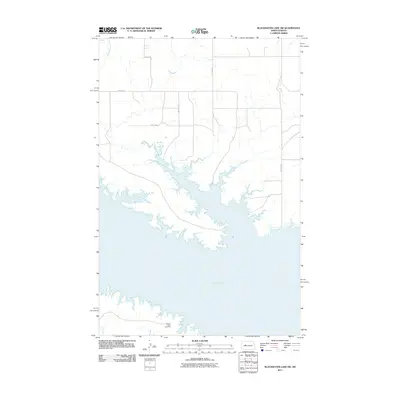
2011 Map of Blackwater Lake SW
USGS Topo · Published 2011About this map
Lake Sakakawea dominates this landscape, its expansive and irregular shoreline filling the central and southern portions of the terrain. The map documents a rural North Dakota environment defined by the intersection of water and a sparse, rectilinear road network. In the north, Buffalo Rock Coulee drains toward the larger reservoir, while the surrounding uplands are gridded by gravel routes such as 67th Ave and 13th St NW. Near the southern edge of the sheet, the Beaver Creek Cemetery sits on a point of land overlooking the water, providing a significant touchstone for local genealogy and family history. This 2011 survey captures the area after the Garrison Dam's creation of the reservoir had long established the modern geography of the region.
Find a feature on this map
9 named features on this map. Tap any name to fly to it.
Don’t see what you’re looking for? This feature index may not catch every label — zoom into the map to look around manually.
Map Details
Editions of this 2011 Blackwater Lake SW Map
This is the sole edition of this map. No revisions or reprints were ever made.
Other maps of this area

1953 · Watford City
USGS Topo · 1:250,000

1954 · McClusky
USGS Topo · 1:250,000

1956 · Blackwater Lake NW
USGS Topo · 1:24,000

1956 · Blackwater Lake
USGS Topo · 1:24,000

1957 · Watford City
USGS Topo · 1:250,000

1958 · McClusky
USGS Topo · 1:250,000

1967 · Watford City
USGS Topo · 1:250,000

1967 · Blackwater Lake SE
USGS Topo · 1:24,000

1967 · Raub SE
USGS Topo · 1:24,000

1967 · Raub
USGS Topo · 1:24,000