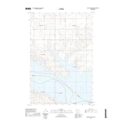
2020 Map of Blackwater Lake SW
USGS Topo · Published 2020About this map
Lake Sakakawea dominates the southern reaches of this landscape, its expansive waters meeting the meandering flow of the Missouri River. The shoreline is heavily articulated by features like Nishu Bay, where the water pushes deep into the surrounding uplands. These higher elevations are defined by a grid of rural roads, including 67th Ave NW and 12th Ave NW, which provide access to the plateau above the river valley. The county boundary between McLean and Mercer Counties cuts across the river and reservoir, highlighting the political geography of this central North Dakota region. Near the southern edge of the quadrangle, the Beaver Creek Cem stands as a quiet marker of local genealogy and heritage, located on the heights above the expansive reservoir system.
Find a feature on this map
17 named features on this map. Tap any name to fly to it.
Don’t see what you’re looking for? This feature index may not catch every label — zoom into the map to look around manually.
Map Details
Editions of this 2020 Blackwater Lake SW Map
This is the sole edition of this map. No revisions or reprints were ever made.
Other maps of this area

1953 · Watford City
USGS Topo · 1:250,000

1954 · McClusky
USGS Topo · 1:250,000

1956 · Blackwater Lake NW
USGS Topo · 1:24,000

1956 · Blackwater Lake
USGS Topo · 1:24,000

1957 · Watford City
USGS Topo · 1:250,000

1958 · McClusky
USGS Topo · 1:250,000

1967 · Watford City
USGS Topo · 1:250,000

1967 · Blackwater Lake SE
USGS Topo · 1:24,000

1967 · Raub SE
USGS Topo · 1:24,000

1967 · Raub
USGS Topo · 1:24,000