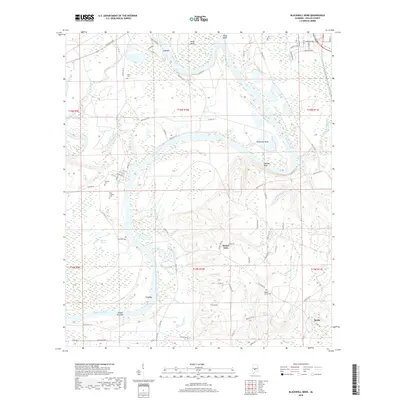
2018 Map of Blackwell Bend
USGS Topo · Published 2018About this map
Blackwell Bend and Kings Bend dominate this stretch of the Alabama River, where deep river loops create a landscape defined by sandbars and bluffs. The river’s winding course is marked by landmarks like Cade Bar, King Bar, and the prominent Hatcher Bluff. For genealogists and local historians, the area is rich with family and community markers, including Adams Grove Cem, Henry Cem, and Matthew Cem. Near the confluence of Mush Cr and the river, the small settlement of Berlin sits on higher ground, while the western side of the river features the historically significant Cahaba Cem and New Cahaba Cem. The terrain rises from the river lowlands to heights such as Mount Nebo, surrounded by a network of seasonal waterways like Irishman Ditch and Mountain Br.
Find a feature on this map
85 named features on this map. Tap any name to fly to it.
Don’t see what you’re looking for? This feature index may not catch every label — zoom into the map to look around manually.
Map Details
Editions of this 2018 Blackwell Bend Map
This is the sole edition of this map. No revisions or reprints were ever made.
Other maps of this area

1953 · Montgomery
USGS Topo · 1:250,000

1956 · Montgomery
USGS Topo · 1:250,000

1957 · Montgomery
USGS Topo · 1:250,000

1957 · Carlowville
USGS Topo · 1:62,500

1957 · Benton
USGS Topo · 1:62,500

1957 · Braggs
USGS Topo · 1:62,500

1958 · Selma
USGS Topo · 1:62,500

1958 · Selma
USGS Topo · 1:24,000

1975 · Selma NW
USGS Topo · 1:24,000

1975 · Selma SE
USGS Topo · 1:24,000