
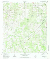
1960 Map of Blackwell Lake
USGS Topo · Published 1962About this map
Working cattle ranches and small-scale agriculture define this DeWitt County landscape in the early 1960s, where the New Orleans and Texas (Southern Pacific) railroad cuts a sharp diagonal line across the terrain. The map documents a network of family holdings, including the Respondek Ranch, Villarreo Ranch, and Wargeecha Ranch, reflecting the area's rural heritage.
Find a feature on this map
24 named features on this map. Tap any name to fly to it.
Don’t see what you’re looking for? This feature index may not catch every label — zoom into the map to look around manually.
Map Details
Editions of this 1960 Blackwell Lake Map
3 editions found
Other maps of this area

1920 · Smiley
USGS Topo · 1:125,000

1953 · Beeville
USGS Topo · 1:250,000

1953 · Seguin
USGS Topo · 1:250,000

1956 · Beeville
USGS Topo · 1:250,000

1958 · Seguin
USGS Topo · 1:250,000

1960 · Beeville
USGS Topo · 1:250,000

1960 · Cuero
USGS Topo · 1:24,000

1960 · Concrete
USGS Topo · 1:24,000

1960 · Westhoff
USGS Topo · 1:24,000

1961 · Sample
USGS Topo · 1:24,000