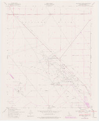
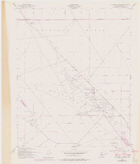
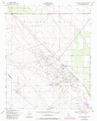
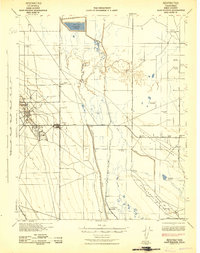
1953 Map of Blackwells Corner
USGS Topo · Published 1982About this map
The North Belridge Oil Field and surrounding petroleum operations dominate this mid-century landscape of the Antelope Plain in Kern County. This area shows a complex infrastructure of the era, marked by an extensive network of pipelines, oil tanks, and sumps that supported the local energy economy. Settlements like Blackwells Corner and North Belridge serve as focal points for the industrial activity, while the topography is defined by the Antelope Hills and the geological structure of the Mc Donald Anti-Cline. The presence of facilities such as the Carneros Pumping Sta and Middlewater Pumping Station underscores the logistical requirements of moving resources across this arid terrain. Remote outposts like Lonewell are also visible, offering a detailed look at the rural and industrial footprint of the region during the early 1950s.
Find a feature on this map
13 named features on this map. Tap any name to fly to it.
Don’t see what you’re looking for? This feature index may not catch every label — zoom into the map to look around manually.
Map Details
Editions of this 1953 Blackwells Corner Map
6 editions found
Other maps of this area

1912 · McKittrick
USGS Topo · 1:125,000

1914 · Lost Hills
USGS Topo · 1:125,000

1932 · Antelope Plain
USGS Topo · 1:31,680

1932 · West of Goose Lake
USGS Topo · 1:31,680

1932 · Reynolds Ranch
USGS Topo · 1:31,680

1934 · West of Goose Lake
USGS Topo · 1:31,680
1936 · Antelope Plain
USGS Topo · 1:31,680
1940 · Reynolds Ranch
USGS Topo · 1:31,680
1942 · Hart Station
USGS Topo · 1:62,500

1943 · Simmler
USGS Topo · 1:62,500