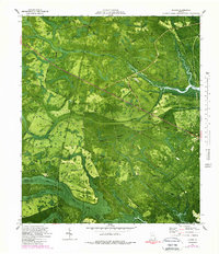
1980 Map of Bladen
USGS Topo · Published 1988About this map
Turtle River and the Little Satilla River define the watery character of this coastal Georgia landscape, where extensive wetland systems like White Oak Swamp and Turtle River Swamp dominate the terrain. This 1980s orthophotomap composite reveals a network of rural settlements including Bladen, Georgetown, and Brookman, often connected by functionally named routes such as Shingle Mill Road, Tram Road, and Causeway Road.
Find a feature on this map
45 named features on this map. Tap any name to fly to it.
Don’t see what you’re looking for? This feature index may not catch every label — zoom into the map to look around manually.
Map Details
Editions of this 1980 Bladen Map
2 editions found
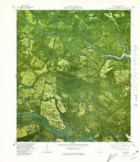
Other maps of this area

1917 · Nahunta
USGS Topo · 1:62,500

1918 · Hortense
USGS Topo · 1:62,500

1918 · Everett City
USGS Topo · 1:62,500

1918 · Nahunta
USGS Topo · 1:62,500

1918 · Bladen
USGS Topo · 1:62,500

1920 · Everett City
USGS Topo · 1:62,500

1939 · Bladen
USGS Topo · 1:62,500

1944 · Everett City
USGS Topo · 1:62,500

1944 · Hortense
USGS Topo · 1:62,500

1946 · Brunswick
USGS Topo · 1:250,000